Study Areas and Datasets
Study Areas
The TRACES Project focuses on 3 study areas in Switzerland and France
- Fribourg study area (127 Swiss municipalities around and including Fribourg)
- Grand Genève study area (209 Swiss and French municipalities around and including Genève)
- Évian (45 French municipalities around and including Évian)
for a total number of 317 municipalities (see Figure 1 and Figure 2)
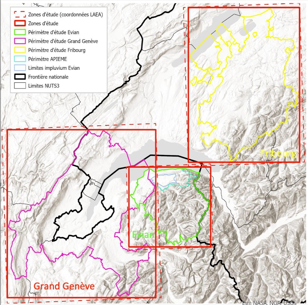
Fgure 1: The 3 TRACES Project study areas.
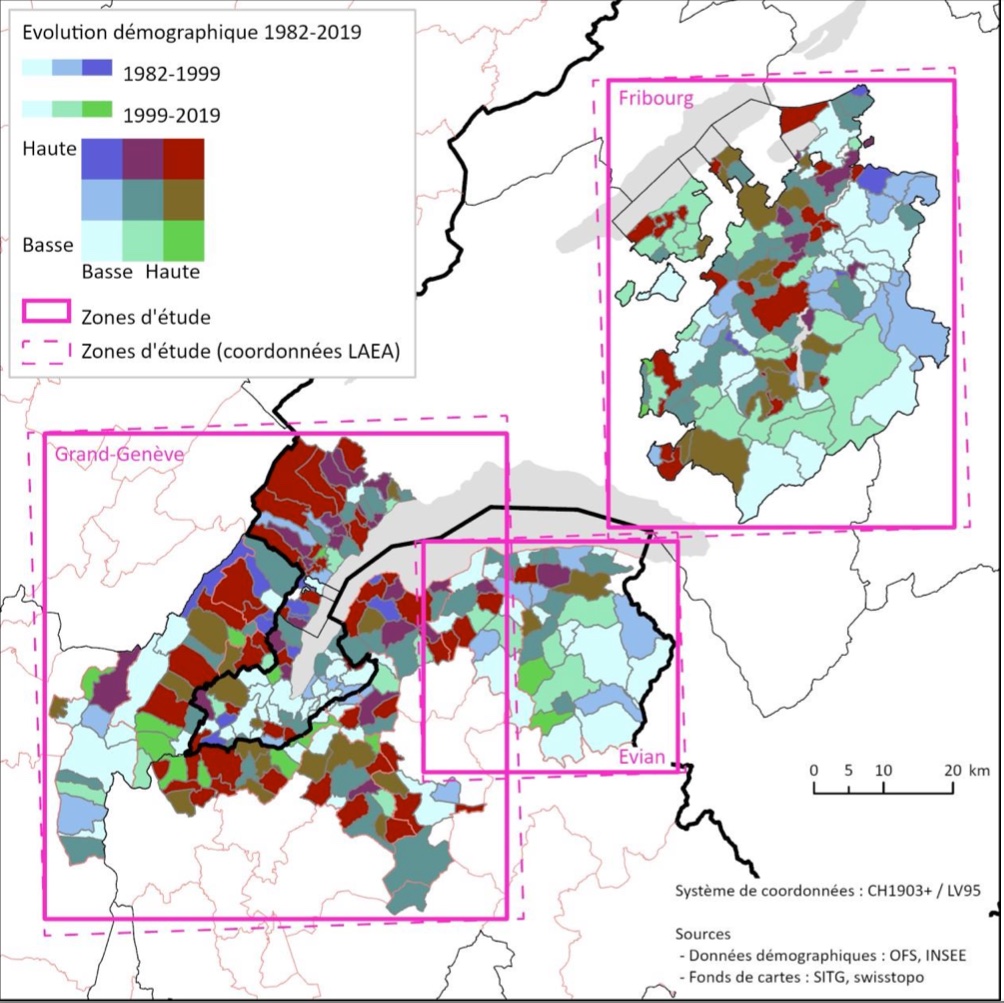
Figure 2: Demographic Evolution of the 3 study areas.
Datasets and TRACES Environmental Indices (TEIs)
The TRACES project uses Environmental Indices (we here call TEI for TRACES Environmental Indices) which assess various environmental characteristics for each pixel of a sattelite image. These raw data are available through the Swiss Data Cube (SDC) for all the municipalities of the 3 study areas.
- LIS: Landsat IndiceS
- LST: Landsat Surface Temperature
- CLC: European and Swiss (1990 only) Corine Land Cover (CLC)
- DEM: Digital Elevation Model (DEM), elevation and slope
- aux_data: region auxiliary data
- …
TEIs can be found at https://gricad-gitlab.univ-grenoble-alpes.fr/steamer/traces-prci/-/tree/main/GRID_TEIs
While 5 observations (years 1990, 2000, 2006, 2012, and 2018) are available for CLC, LIS and LST observations are available over the period 1985 up to 2022 about one a week (about 2000 observations for each TEI and for each municipality).
The transfer of pixels from satellite images to municipal outlines has been performed using Python and R.
The results of these transformations are available as csv files. Each CLC observation measure (considering 15 CLC classes) is available in two units (HA and %). Each LIS and LST observation has three measures: mean, standard deviation, and data quality, with various attributes such as celsius degrees (◦C), percent- age (%) and unitless attributes (-).
LIS (Landsat IndiceS) metadata are available through GeoNetwork at https://traces-gn.unepgrid.ch/geonetwork/